How borders are actually made
3 min read · 3 steps · Updated 2 October 2026
In short: the idea of a sharp border is surprisingly modern, broadly, borders come in three kinds, then there are the strange ones.

There are about 250,000 kilometers of land borders on Earth. Every meter of them was drawn by someone. Some follow mountains. Some follow rivers. And some are perfectly straight lines, drawn on a map far away.
This is Countries Compared. Today: how borders are actually made, and why some of them make no sense at all.
Step by step

The idea of a sharp border is surprisingly modern
For most of history, kingdoms had fuzzy frontiers, not sharp lines. Power simply faded out with distance. The Peace of Westphalia in 1648 is often called the birth of sovereign states with fixed territory, though historians argue about how much it really changed. What made precise borders possible was maps. Once you can survey land accurately, you can draw a line and say: this side is mine.

Broadly, borders come in three kinds
The first kind is natural. Mountains and rivers. The Pyrenees have separated France and Spain since the Treaty of the Pyrenees in 1659. But even here, the exact line took another 200 years to agree. Today, more than 600 numbered stones mark it.
The second kind is geometric. Straight lines, often along lines of latitude and longitude. Look at North Africa. Egypt, Libya, Sudan, Algeria. Many of these lines were drawn by European colonial powers who had never seen the land. One well known study found that roughly 40 percent of Africa's borders are straight lines.
The world's longest border is partly straight too. The border between the United States and Canada runs 8,891 kilometers. For about 2,000 of them, it follows the 49th parallel. Crews still keep a six meter strip cleared through the forest along it.
People often say Africa was carved up at the Berlin Conference of 1884. The reality? Berlin set the rules for claiming land. No Africans were there. Most of the actual lines were drawn in the decades after, in deal after deal between two colonial powers at a time.
The third kind is the hardest. Splitting people. In 1947, a British lawyer named Cyril Radcliffe, who had never been to India, got about five weeks to divide Punjab and Bengal between India and Pakistan. The line was published two days after independence. Millions of people found themselves on the wrong side of it.
Korea is similar. In August 1945, two American officers, using a National Geographic map, picked the 38th parallel as a temporary dividing line. After the Korean War, it became the demilitarized zone, about 250 kilometers long and four wide. Still there, more than 70 years later.
So how does a line on a map become a real border?
Geographers describe four steps. First, deciding roughly who gets which territory. Then delimitation: writing the exact line into a treaty. Then demarcation: putting stones, fences or buoys on the ground. And finally, administration. Customs, guards and passports.
And when countries disagree, they sometimes go to court. In 2002, the International Court of Justice gave the Bakassi Peninsula to Cameroon instead of Nigeria, based on a treaty from 1913. Nigeria handed it over in 2008.
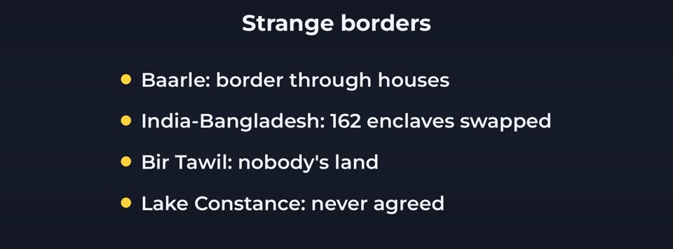
Then there are the strange ones
In the Belgian and Dutch town of Baarle, the border runs through houses. Your front door decides which country you live in. In 2015, India and Bangladesh swapped 162 enclaves, pockets of one country surrounded by the other. Bir Tawil, between Egypt and Sudan, is land that neither country claims. And on Lake Constance, Germany, Switzerland and Austria have never agreed where the border is.
Good to know
One more trend. When the Berlin Wall fell in 1989, there were around 15 border walls in the world. Today, researchers count more than 70. More borders are being fenced, not fewer.
In short: Borders aren't facts of nature. They're decisions, made by people often far away, and then lived with by everyone else for generations.
- CIA World Factbook (land borders)
- International Boundary Commission US-Canada
- ICJ judgment Cameroon v. Nigeria 2002
- India-Bangladesh Land Boundary Agreement 2015
- Alesina/Easterly/Matuszeski "Artificial States" (straight-line borders)
- Elisabeth Vallet (border walls)
- Treaty of the Pyrenees 1659
Rules and prices change. Check the official source before you act.